If you own property—or you’re about to—there are several questions to consider. What Is Land Surveying, and why does it matter? Where exactly does your land begin and end? Is that fence actually yours? Can you build where you’re planning to? The problem is that these questions aren’t speculation. They can turn into delays, disputes, or legal issues if ignored.
In New Jersey, these concerns come up more often than people expect. Properties have changed hands for decades. Lots have been divided, merged, and adjusted. What looks obvious on the ground isn’t always accurate on paper. That’s when the trouble starts.
Why Many Property Owners Don’t Fully Understand What is land Surveying
Most people only think about land surveying when required. This might happen during a home purchase, a construction project, or a dispute with a neighbor. The issue is not timing alone—it’s understanding. What Is Land Surveying, and why does it matter in these situations? A lot of property owners assume that a deed or a tax map is enough to define their land.
Here’s the truth: those documents describe the property, but they don’t physically confirm it. They don’t show where a boundary sits in real-world conditions. Over time, things shift. Fences get installed in the wrong place. Driveways cross lines. Trees and landmarks disappear. Without a proper survey, those small changes become bigger problems.
In New Jersey, older neighborhoods make this situation even more complicated. Some properties were mapped decades ago, using methods that don’t match modern standards. That’s why relying on old information—especially without verification—can cause a mountain of problems.
Common Reasons Property Lines Get Confusing
If you’re wondering why property lines aren’t clear, there are several reasons why. Here are the most common reasons that lead to confusion between owners.
Missing or unclear boundary markers
Physical markers like stakes or monuments can be removed, buried, or damaged over time. Once they’re gone, people have to rely on guesswork.
Outdated property descriptions
Legal descriptions in deeds can be difficult to interpret. What’s written on papermay not reflect current land conditions.
Construction and land changes
Additions, new structures, and subdivisions can shift how land is used. Without updated surveys, overlaps can occur.
Real estate and legal requirements
Banks, title companies, and local governments often need surveys. These help them check property details before granting approvals.
What Land Surveying Actually Means (And Why It Matters)

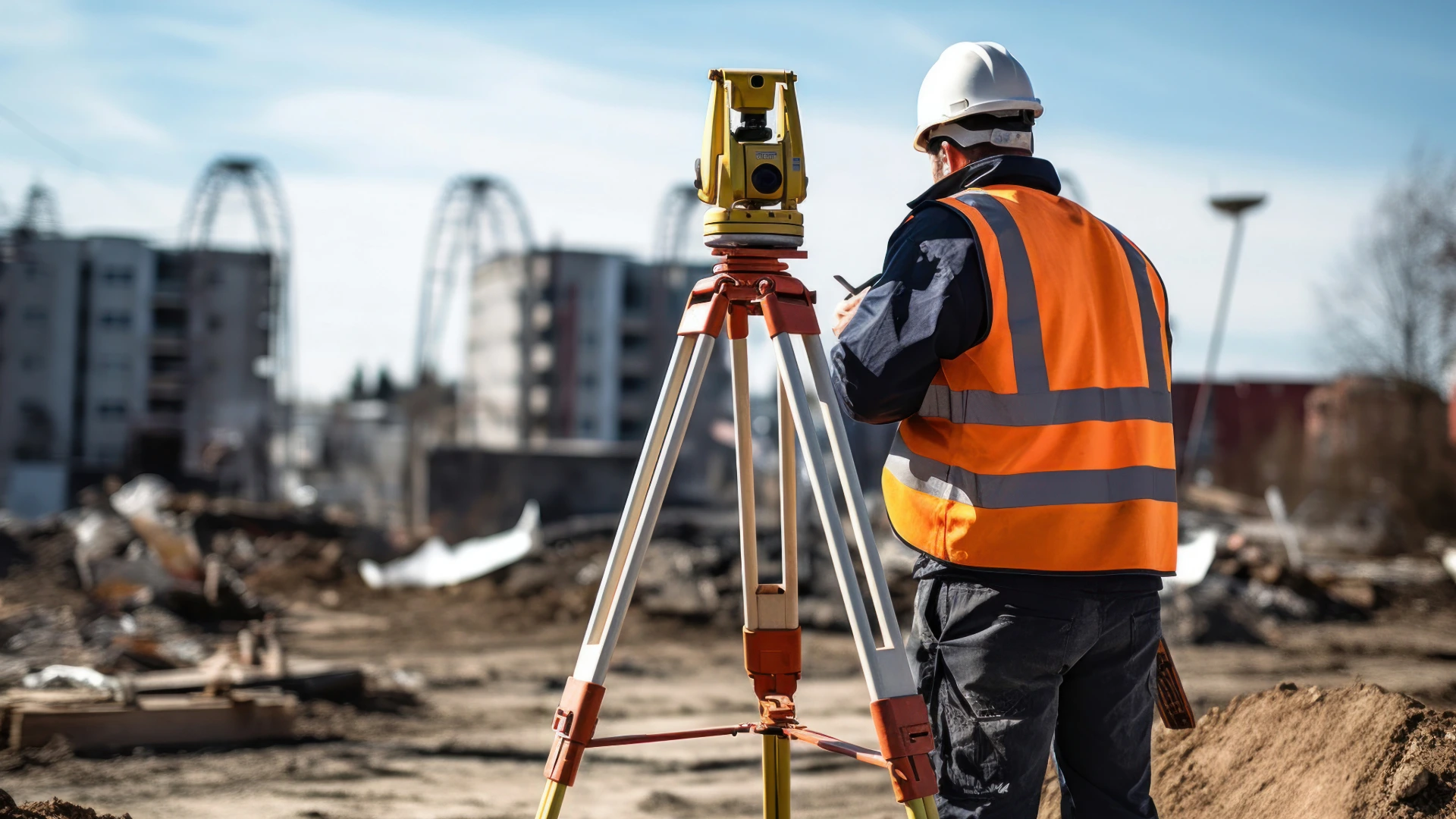
Land surveying is the process of measuring and mapping land to determine its exact boundaries and features. But What Is Land Surveying in practical terms? It’s done by licensed professionals using specialized equipment to collect precise data. All that information helps create a survey drawing, which shows property lines, structures, easements, and other key elements clearly.
At its core, surveying clears up uncertainty. It answers the question, “What do you actually own?” Instead of using your intuition or a rough sketch, you get a well-defined image that is both legally and physically accurate to the property.
A boundary survey is the most common type. It defines the limits of your property and identifies any encroachments. For example, if a neighbor’s fence crosses into your land, a boundary survey will show exactly where. This kind of information is crucial before buying, selling, or building on land.
Topographic surveys focus on the land itself—elevation, slopes, and features. These are often used for construction planning. In areas of New Jersey prone to flooding, elevation certificates are also important. They help determine flood risk and insurance requirements.
Construction surveys are another type. These inspections help during building work. They make sure that structures are placed correctly according to approved plans. Without this step, even small placement errors can turn into major compliance issues.
How Land Surveying Protects Your Property and Investment
A survey protects you from making decisions based on incorrect assumptions. If you’re buying a property, the inspection confirms that you’re paying for the exact measurements of the land. If you’re building, it stops you from placing structures in the wrong location.
It also helps prevent disputes. Boundary disagreements between neighbors are common, but they can escalate quickly. A professional survey provides a neutral, legally recognized reference point. Instead of arguing over opinions, you have documented facts.
There’s also a financial side to think about. Fixing a mistake after construction is expensive. Moving a fence is one thing, butmoving part of a building is something else entirely. A survey upfront saves money you’d otherwise lose in fixing an oversight.
Choosing a Reliable Land Surveyor in New Jersey

Working with a qualified, local surveyor is as important as getting the survey itself. New Jersey’s zoning rules, environmental factors, and property history affect the options available. Local experience matters, especially in picking survey methods.
That’s where Land Line Surveyors comes in. The company has worked with property owners, contractors, and real estate professionals in New Jersey for years. Their services cover boundary surveys, elevation certificates, construction layout, and subdivisions.
The best part? Their team is very familiar with the local area. They know that a survey is more than just using tools. It’s about reading records, knowing local laws, and understanding how properties change over time. With that kind of background, they can help you identify potential issues early and avoid delays.
Accurate information is crucial, whether you’re buying a home, planning an addition, or sorting out a boundary issue. A professional survey provides that clarity, and the best type is one handled by an expert
Final Thoughts: Why Land Surveying Is Worth It
Land surveying is a necessary step for anyone dealing with property. It defines boundaries, supports construction, and helps prevent legal and financial problems. Without it, you’re relying on incomplete or outdated information.
In a place like New Jersey, where property histories can be complicated, that risk is even higher. Having a proper survey gives you a clear understanding of your land and its potential uses.
If you’re unsure about your property boundaries or planning any kind of project, it’s better to address it now. Reach out to Land Line Surveyors to get accurate information and move forward with confidence.