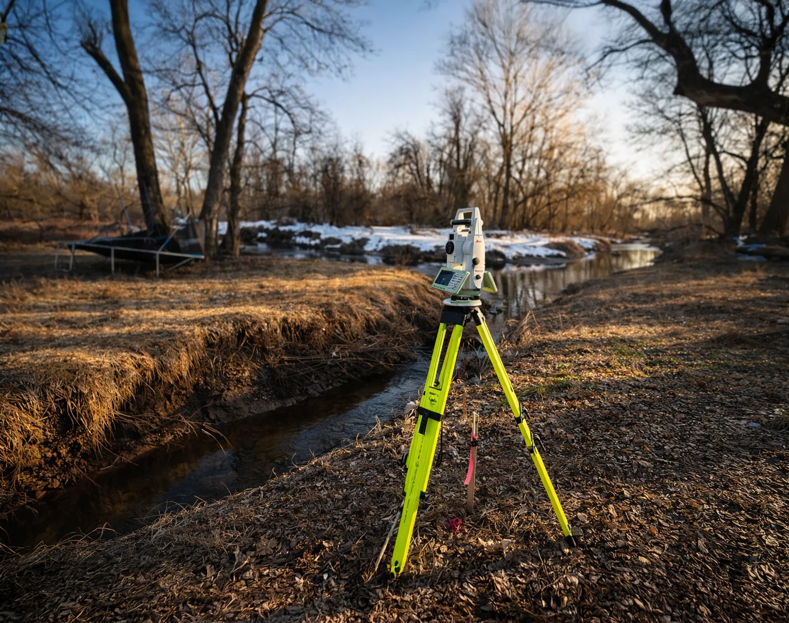
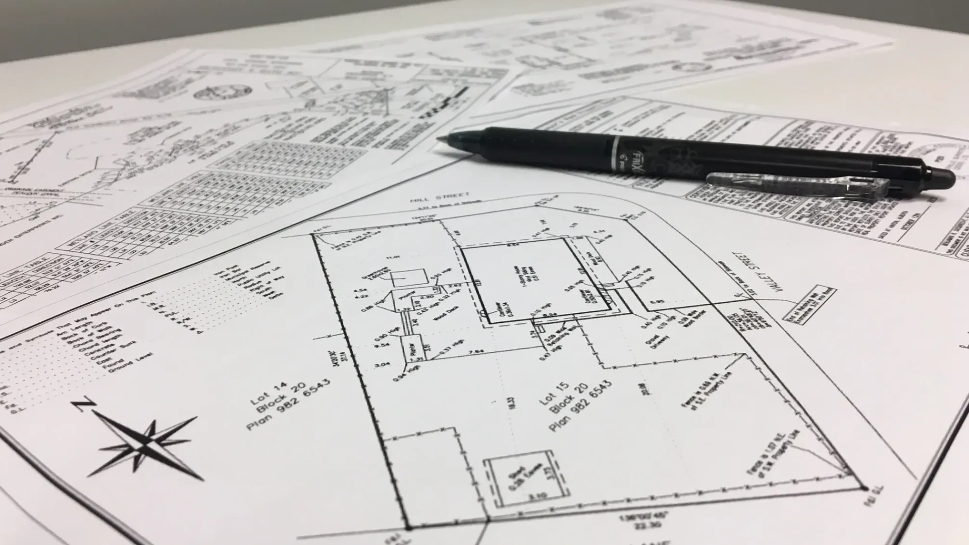
๐๐๐๐ข๐ง๐ข๐ง๐ ๐๐จ๐ฎ๐ง๐๐๐ซ๐ข๐๐ฌ & ๐๐๐ฅ๐ข๐ฏ๐๐ซ๐ฒ ๐๐๐ซ๐ญ๐๐ข๐ง๐ญ๐ฒ
At Land Line Surveyors we consistently combine quality, accuracy, and reliable data for every project need. Our firm utilizes advanced, state-of-the-art technology to collect, process, and deliver precise dataโensuring that every project is completed with analyze the level of care and of detail required.
With decades of experience, Land Line Surveyors supports a wide variety of surveying needs, offering essential services to homeowners, builders, developers, engineers, and commercial property owners throughout New Jersey and the surrounding tri-state area.
We are led by licensed professionals, including John Lis, PLS, CFS (NJ), Owner and Principal Land Surveyor, and Brian Britton, PLS (NY, NJ, PA), CFS Managing Partner. Our firm maintains active affiliations with leading industry organizations, including the New Jersey Society of Professional Land Surveyors (NJSPLS), New York State Association of Professional Land Surveyors (NYSAPLS), and the Pennsylvania Society of Land Surveyors (PSLS), reinforcing our commitment to professional standards and excellence that every one of our clients deserve.
๐๐ซ๐๐ ๐จ๐ ๐๐ฑ๐ฉ๐๐ซ๐ญ๐ข๐ฌ๐

Property Surveysโ
Accurate land measurements and boundary verification to support property ownership, development, and legal documentation.

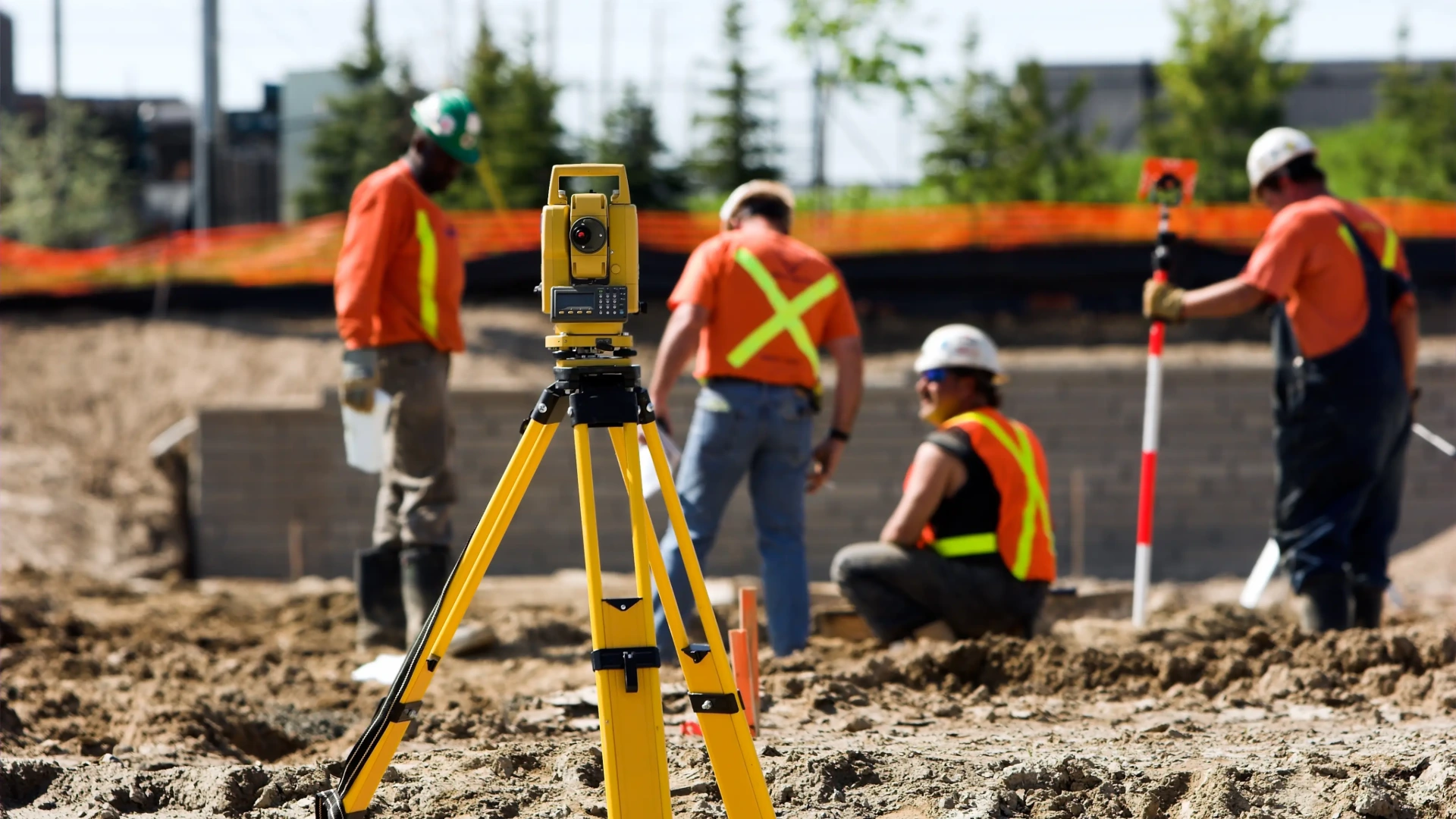
Construction Stakingโ
Precise on-site construction layout and staking based on approved plans, ensuring accurate positioning and alignment.
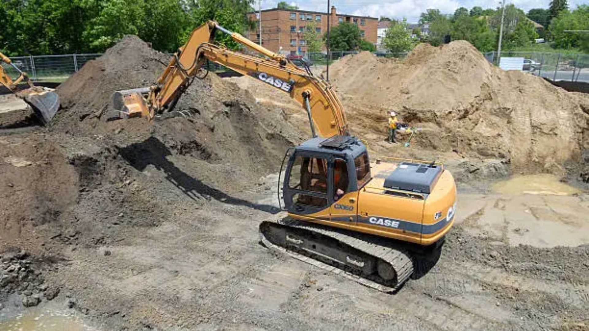
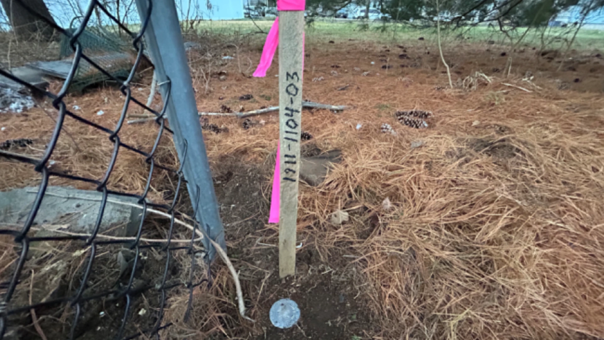
Site Remediationโ
Restoring contaminated land to safe, usable conditions from existing conditions survey to post excavation, backfill and as built surveying.

ALTA/NSPS Land Title Surveysโ
Accurate, detailed surveys that meet ALTA/NSPS standards. Ensures clear property boundaries with a focus on easements and encumbrances to support land title review.

Boundary Surveysโ
Precisely locating and mapping property lines to assist with disputes and support legal documentation. Reliable measurements for ownership clarity and land use planning.

Topographic Surveysโ
Detailed mapping of grade elevations, contours, and features. Supports design, planning, and planimetric construction projects with accurate terrain model data.
๐๐ ๐๐ซ๐ ๐๐๐๐ข๐๐๐ญ๐๐ ๐ญ๐จ ๐จ๐ฎ๐ซ ๐๐ซ๐๐๐ญ
We are dedicated to precision, reliability, and excellence in land surveying. At Land Line Surveyors, Defining Boundaries & Delivering Certainty means providing dependable, on-demand service in a fast-paced construction environmentโensuring our clients stay on schedule and move forward with confidence.
Why Choose Us
Accuracy & Precision
We use advanced surveying equipment combined with proven methods to deliver highly accurate land measurements. Every detail is carefully verified for dependable results.
Reliable Turnaround
We understand project timelines matter. Our efficient workflows ensure your projects are completed on schedule without compromising quality.
Experienced Surveyors
Our licensed land surveyors bring years of field experience and technical expertise to every project, ensuring reliable and professional outcomes.
Advanced Technology
We utilize modern GPS, GNSS, and total station equipment to provide precise data and faster project completion.
Clear Communication
We keep you informed at every stage of the survey process, providing clear schedules and responsive updates from start to finish.
Trusted Results
Our commitment to quality ensures accurate surveys you can rely on for planning, development, and legal documentation.
๐๐จ๐ง๐ญ๐๐๐ญ ๐๐ฌ
Have a project in mind? Whether you need a boundary survey, construction staking, or a detailed land title survey, our team is ready to help.
At Land Line Surveyors, we bring over 35 years of experience delivering accurate, reliable results across New Jersey, Pennsylvania, and New York. We understand that your project depends on precision and timingโand weโre committed to getting it done right.
Fill out the form to get started, or reach out to us directly:
info@landlinesurveyors.com
๐ 609-978-0073
We typically respond within one business day.